 OPEN ON MAP
東京タワーより高い350m!落差日本一の称名滝を4Kドローン空撮 Aerial 4K video of Shomyo Falls, the highest waterfall in Japan.
 World Traveler

First-person-view drone flights through waterfalls: every video tagged both FPV and Waterfall. Today nearly all of them are by Shizuenoko on the Kii Peninsula.
FPV, first-person view, means the pilot flies wearing goggles that show the drone's own camera. Freed from the steady, distant framing of a conventional drone, the camera can drop down the face of a fall, skim the plunge pool and climb back out through the spray.
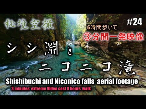
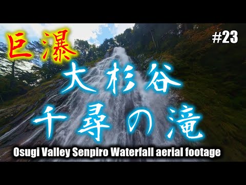
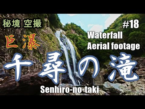
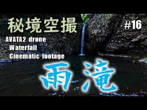
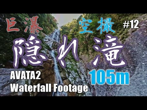
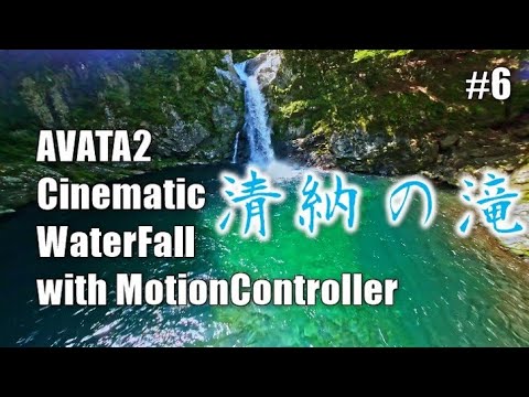
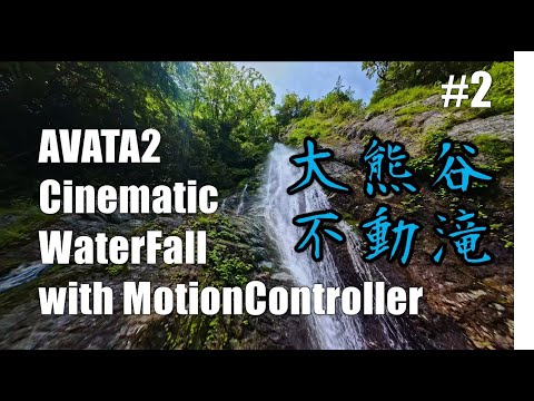
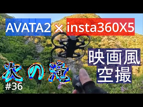
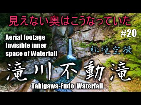
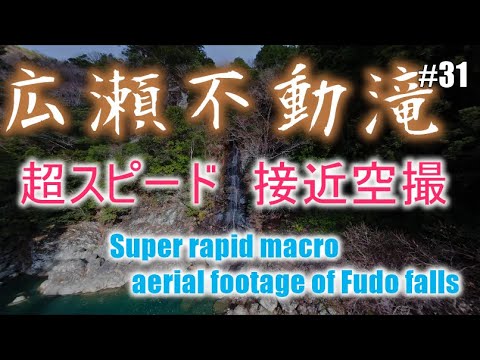
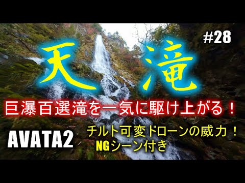
This collection gathers every video on AirViewHub tagged both FPV and Waterfall. Nearly all of them so far are by Shizuenoko, who flies the waterfalls of Nara, Mie and Wakayama, the rainiest and most waterfall-rich corner of Japan, with a DJI Avata 2 and a head-tracking rig. Several of the falls are on the official list of Japan's 100 best; others are hidden deep in the valleys of the Kii Peninsula and rarely seen from any angle.
Every flight is pinned to the exact waterfall. Open the map to see where each one is and what else lies nearby.
The pins are the same markers as on the AirViewHub map, one per pilot. Click a pin to preview the video, or open the collection on the full map.
Showing 46 video locations. Open this collection on the full map to browse, filter and watch.
Newest first. Click a video to open it on the map with its exact location.
OPEN ON MAP
World Traveler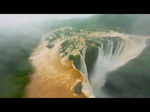 OPEN ON MAP
World Traveler
 OPEN ON MAP
 Shizuenoko
 OPEN ON MAP
Shizuenoko
 OPEN ON MAP
Shizuenoko
 OPEN ON MAP
Shizuenoko
 OPEN ON MAP
Shizuenoko
 OPEN ON MAP
Shizuenoko
 OPEN ON MAP
Shizuenoko
 OPEN ON MAP
Shizuenoko
 OPEN ON MAP
Shizuenoko
 OPEN ON MAP
Shizuenoko
 OPEN ON MAP
Shizuenoko
 OPEN ON MAP
Shizuenoko
 OPEN ON MAP
Shizuenoko
 OPEN ON MAP
Shizuenoko
 OPEN ON MAP
Shizuenoko
 OPEN ON MAP
Shizuenoko
 OPEN ON MAP
Shizuenoko
 OPEN ON MAP
Shizuenoko
 OPEN ON MAP
Shizuenoko
 OPEN ON MAP
Shizuenoko
 OPEN ON MAP
Shizuenoko
 OPEN ON MAP
Shizuenoko
 OPEN ON MAP
Shizuenoko
 OPEN ON MAP
Shizuenoko
 OPEN ON MAP
Shizuenoko
 OPEN ON MAP
Shizuenoko
 OPEN ON MAP
Shizuenoko
 OPEN ON MAP
Shizuenoko
 OPEN ON MAP
Shizuenoko
 OPEN ON MAP
Shizuenoko
 OPEN ON MAP
Shizuenoko
 OPEN ON MAP
Shizuenoko
 OPEN ON MAP
Shizuenoko
 OPEN ON MAP
Shizuenoko
 OPEN ON MAP
Shizuenoko
 OPEN ON MAP
Shizuenoko
 OPEN ON MAP
Shizuenoko
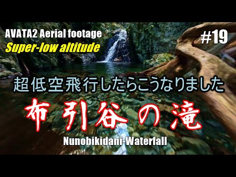 OPEN ON MAP
Shizuenoko
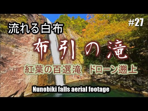 OPEN ON MAP
Shizuenoko
 OPEN ON MAP
Shizuenoko
 OPEN ON MAP
Shizuenoko
 OPEN ON MAP
Shizuenoko
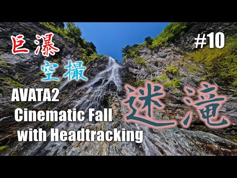 OPEN ON MAP
Shizuenoko
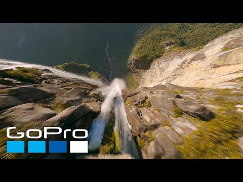 OPEN ON MAP
 avh_sub
Share your flights with the tags FPV and Waterfall and they join this collection on the next update. Your videos become pins on the world map, with a MyMap page of your own.