 OPEN ON MAP
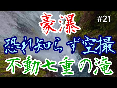
#21 不動七重の滝 豪瀑 水を恐れない空撮 AVATA2
 Shizuenoko

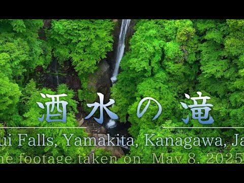
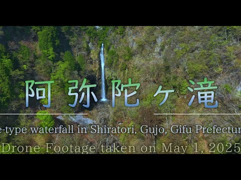
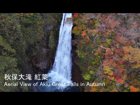
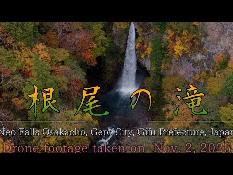
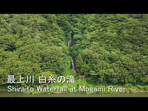
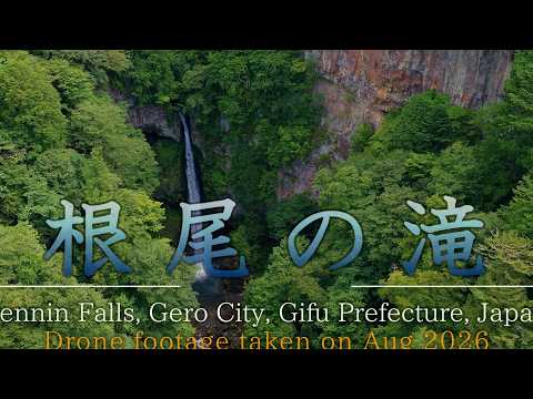
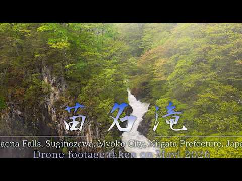
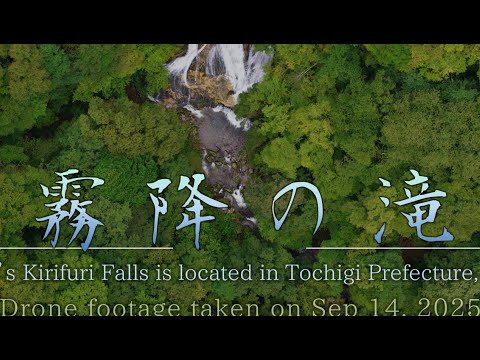
Drone footage of the waterfalls selected as Nihon no Taki Hyakusen, Japan's official list of 100 famous waterfalls.
In 1990 Japan's Ministry of the Environment and the Forestry Agency, backed by a nationwide public vote, selected 100 waterfalls that best represent the country's rivers and mountains. The list runs from Hokkaido to Okinawa and includes giants like Nachi and Kegon as well as remote falls that take a day's hike to reach.
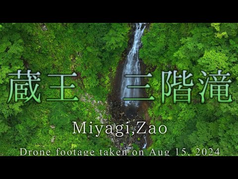
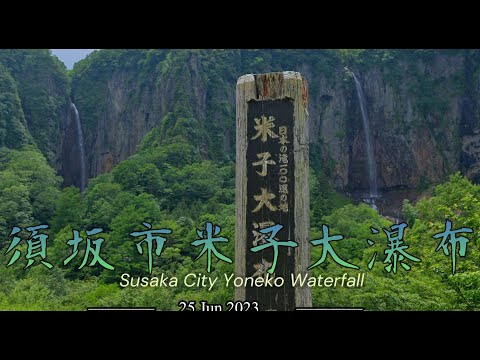
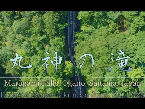
This collection brings together the drone videos on AirViewHub that show one of the hundred. Each video sits on the map at the waterfall's location, so you can see the terrain, the approach, and the light before you plan your own visit or flight.
The list is far from complete. If you have aerial footage of a listed waterfall, post it with the tag Waterfall_Best100JP and it appears here.
The pins are the same markers as on the AirViewHub map, one per pilot. Grey dots are waterfalls on the official list that nobody has posted yet. Click a pin to preview the video.
Showing 18 video locations and 84 still wanted. Open this collection on the full map to browse, filter and watch.
Most viewed first. Click a video to open it on the map with its exact location.
OPEN ON MAP
Shizuenoko OPEN ON MAP
Shizuenoko
 OPEN ON MAP
Shizuenoko
 OPEN ON MAP
Shizuenoko
 OPEN ON MAP
 Dr.Drone
 OPEN ON MAP
Dr.Drone
 OPEN ON MAP
Dr.Drone
 OPEN ON MAP
Dr.Drone
 OPEN ON MAP
Dr.Drone
 OPEN ON MAP
 kinope
 OPEN ON MAP
Dr.Drone
 OPEN ON MAP
kinope
 OPEN ON MAP
Dr.Drone
 OPEN ON MAP
Dr.Drone
 OPEN ON MAP
Dr.Drone
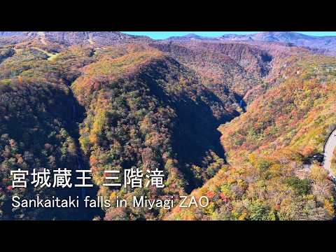 OPEN ON MAP
kinope
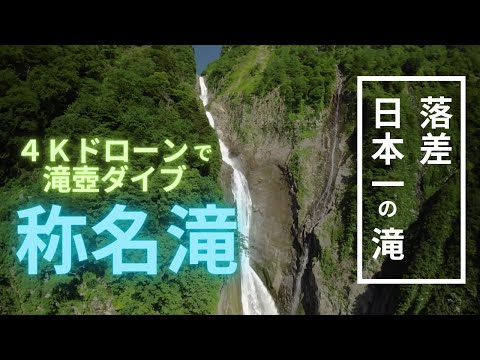 OPEN ON MAP
 World Traveler
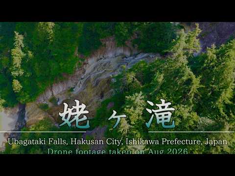 OPEN ON MAP
Dr.Drone
Every waterfall on the official list, by region. Green ones have a video on AirViewHub; the rest are waiting for a pilot. 16 of 100 covered so far.
List: Nihon no Taki Hyakusen (1990). Locations from Wikipedia and Wikidata; a video counts as covering a waterfall when it is pinned within 2 km of it.
Post it with the tag Waterfall_Best100JP and it joins this collection. Creating an account takes less than a minute.